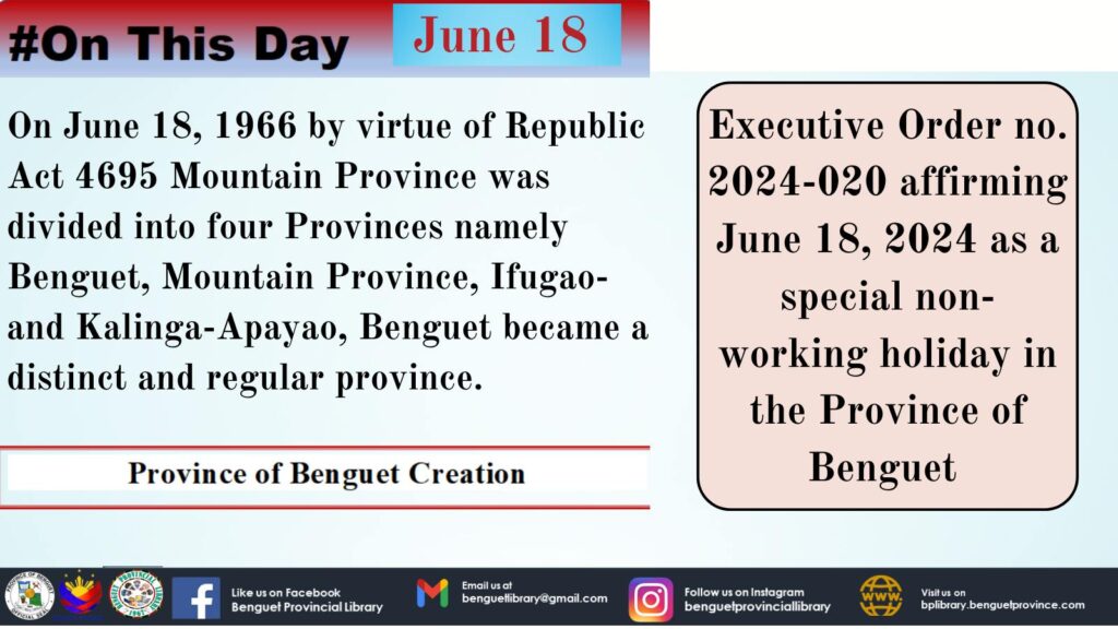
Province of Benguet creation
Benguet, together with the Provinces of Abra, Apayao, Ifugao, Kalinga, Mountain Province, and City of Baguio comprise the Cordillera Administrative Region (CAR) in Northern Luzon. It has mountainous terrain of peaks, ridges, and canyons; and a temperate and generally pleasant climate.Benguet lies southernmost in the Cordillera Administrative Region. It is geographically located between 16’33” north latitude and 120’34” to 120’52” east longitude. On the north, it is bounded by Mountain Province, on the south by Pangasinan, on the east by Ifugao and Nueva Vizcaya and on the west by La Union and Ilocos Sur.Benguet is a plateau, a mass of elevated land. She has a great special agricultural potentiality on account of this fact. All rivers of Benguet drain into the China Sea.The province comprises one (1) congressional district, two (2) provincial board districts, thirteen (13) municipalities and one hundred forty (140) barangays. The Province’s municipalities are: Atok, Bakun, Bokod, Buguias, Itogon, Kabayan, Kapangan, Kibungan, La Trinidad, Mankayan, Sablan, Tuba and Tublay. It has three major ethnolinguistic groups: the Kankanaeys, Ibalois and Kalanguyas and other minor groups with distinct cultures and histories of their own.


